


Mobile navigation and GPS apps
Tomstrails provides a range of advanced GPS applications for both the professional and leisure user. Coordinate formats are supported for many of the popular mapping systems in use around the world. Applications are available for the Apple iPhone and GPS-enabled iPad.
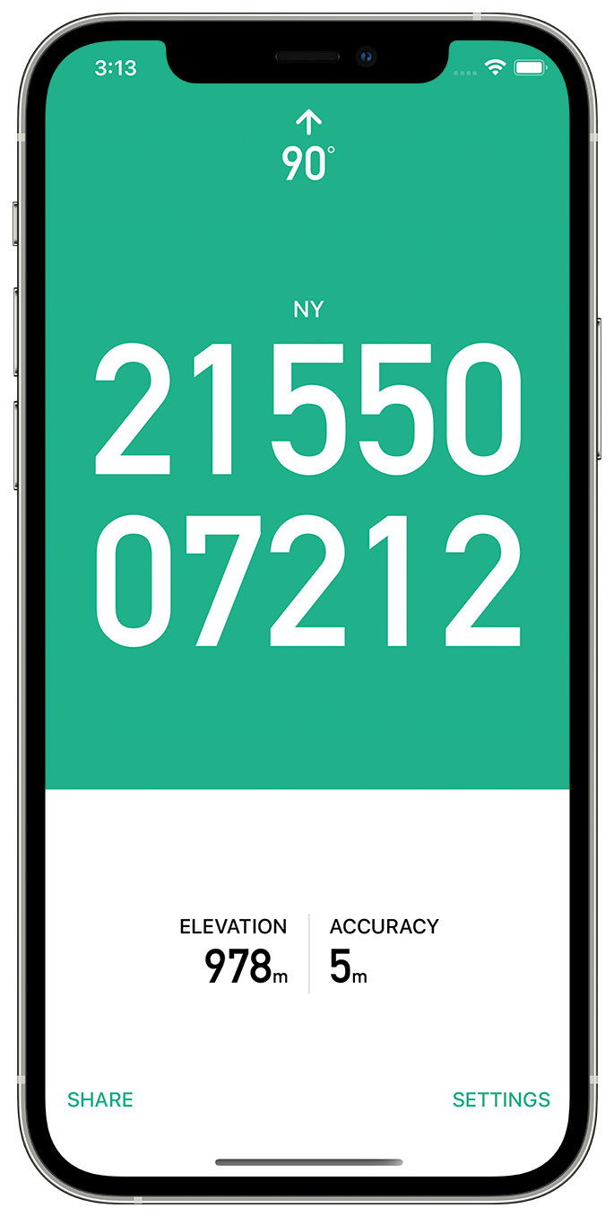

GPS OS Grid Reference
Great Britain and Ireland
GPS OS provides a fast and accurate way to locate your position on an Ordnance Survey map, both in Great Britain and Ireland.
No phone signal required - works in the most remote locations.
OSTN15 transform data for high conversion accuracy (better than 1m).
6, 8 and 10 figure grid references.
A large, clear, high contrast display ensures you can easily read your position in any light conditions.
Optimises the frequency of position updates depending on battery charge and speed of travel to make sure you can always make calls at the end of the day.
No adverts, no tracking.
An In-App Purchase provides additional premium features:
Magnetic compass bearing.
Sharing your position with other apps or friends.
GPS Duo
Worldwide Coordinate Formats
Provides a clear and concise display of your position in map coordinates used widely around the world. Grid formats:
• British Grid, used by Ordnance Survey in Great Britain.
• Irish Grid, used by Ordnance Survey in Ireland.
• MGRS (Military Grid Reference System)
• UTM used worldwide with both the WGS-84 datum and ED50 in parts of Europe.
• Latitude & Longitude in decimal and sexagesimal notation.
Extended battery life - Tomstrails GPS optimizes the frequency of position updates depending on battery charge and speed of travel to make sure you can always make a call at the end of the day, great for multi-day trips. The GPS is never enabled when the app is in background.
Crisp, clear display - a clear, high contrast display ensures you can read the position quickly in any light conditions. Simultaneous grid formats allows emergency services to coordinate ground and aerial support.

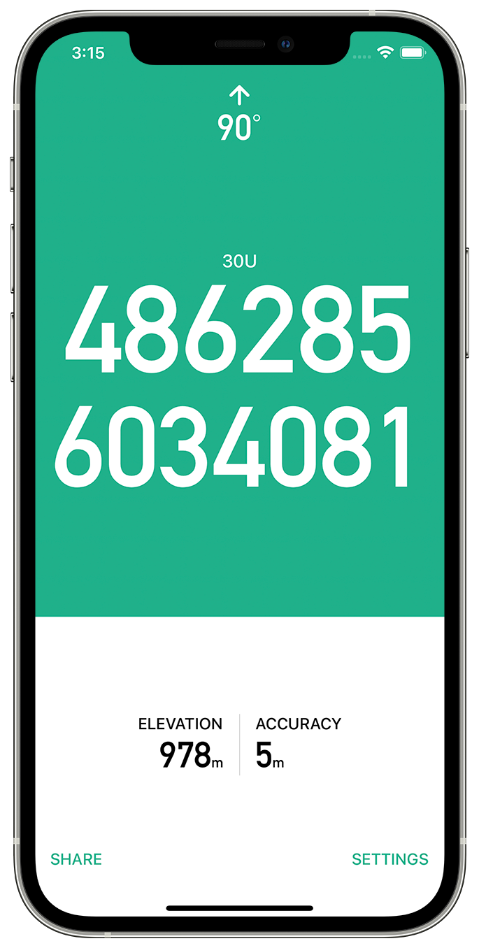
GPS UTM
UTM Grid reference
GPS UTM displays an accurate UTM grid reference as marked on many topographic maps. Full 1 metre and compact 100 metre formats are supported. GPS UTM supports many of the regional datums used around the world including ED50 and NAD27.
No phone signal required - works in the most remote locations.
Full 1m and compact 100m format.
A large, clear, high contrast display ensures you can easily read your position in any light conditions.
Optimal battery use based on speed of travel and current charge level ensures all day use.
No Adverts.
An In-App Purchase provides additional premium features:
Magnetic compass.
Sharing your current location either as a grid reference, or a link to Google Maps.